Choose Which Site You Want To See


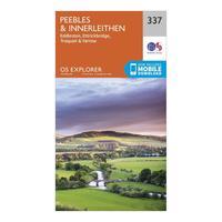
Ordnance Survey Explorer 337 Peebles & Interleithen Map With Digital Version, Orange: The essential map for outdoor activities in Peebles and Interleithen. The OS Explorer Map is the Ordnance Survey\'s...
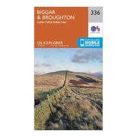
Ordnance Survey Explorer 336 Biggar & Broughton Map With Digital Version, Orange: The essential map for outdoor activities in Biggar and Broughton. The OS Explorer Map is the Ordnance Survey\'s most...
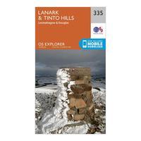
Ordnance Survey Explorer 335 Lanark & Tinto Hills Map With Digital Version, Orange: The essential map for outdoor activities in Lanark and Tinto Hills. The OS Explorer Map is the Ordnance Survey\'s most...
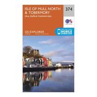
Ordnance Survey Explorer 374 Isle Of Mull North & Tobermory Map With Digital Version, Orange: The essential map for outdoor activities in Isle of Mull North and Tobermory. The OS Explorer Map is the Ordnance...
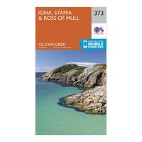
Ordnance Survey Explorer 373 Iona, Staffa & Ross Of Mull Map With Digital Version, Orange: The essential map for outdoor activities in Iona, Staffa and Ross of Mull. The OS Explorer Map is the Ordnance...
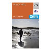
Ordnance Survey Explorer 372 Coll & Tiree Map With Digital Version, Orange: The essential map for outdoor activities in Coll and Tiree. The OS Explorer Map is the Ordnance Survey\'s most detailed...
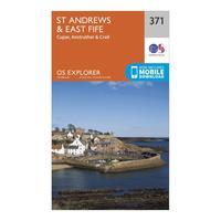
Ordnance Survey Explorer 371 St Andrews & East Fife Map With Digital Version, Orange: The essential map for outdoor activities in St Andrews and East Fife. The OS Explorer Map is the Ordnance Survey\'s...
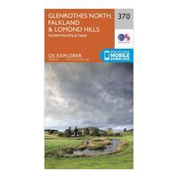
Ordnance Survey Explorer 370 Glenrothes North, Falkland & Lomond Hills Map With Digital Version, Orange: The essential map for outdoor activities in Glenrothes North, Falkland and Lomond Hills. The OS Explorer Map is the...
Ordnance Survey Explorer 369 Perth & Kinross Map With Digital Version, Orange: The essential map for outdoor activities in Perth and Kinross. The OS Explorer Map is the Ordnance Survey\'s most...
Ordnance Survey Explorer 367 Dunfermline, Kirkcaldy & Glenrothes South Map With Digital Version, Orange: The essential map for outdoor activities in Dunfermline, Kirkcaldy and Glenrothes South. The OS Explorer Map is the...
Ordnance Survey Explorer 366 Stirling & Ochil Hills Map With Digital Version, Orange: The essential map for outdoor activities in Stirling and Ochil Hills. The OS Explorer Map is the Ordnance Survey\'s...
Ordnance Survey Explorer 362 Cowal West & Isle Of Bute Map With Digital Version, Orange: The essential map for outdoor activities in Cowal West and Isle of Bute. The OS Explorer Map is the Ordnance Survey\'s...
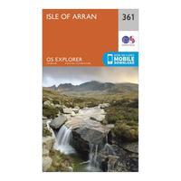
Ordnance Survey Explorer 361 Isle Of Arran Map With Digital Version, Orange: The essential map for outdoor activities in Isle of Arran. The OS Explorer Map is the Ordnance Survey\'s most detailed...
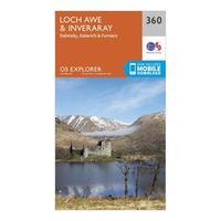
Ordnance Survey Explorer 360 Loch Awe & Inverarary Map With Digital Version, Orange: The essential map for outdoor activities in Loch Awe and Inverarary. The OS Explorer Map is the Ordnance Survey\'s most...
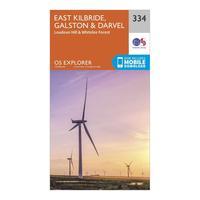
Ordnance Survey Explorer 334 East Kilbride, Galston & Darvel Map With Digital Version, Orange: The essential map for outdoor activities in East Kilbride, Galston and Darvel . The OS Explorer Map is the Ordnance...
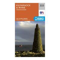
Ordnance Survey Explorer 333 Kilmarnock & Irvine Map With Digital Version, Orange: The essential map for outdoor activities in Kilmarnock and Irvine. The OS Explorer Map is the Ordnance Survey\'s most...
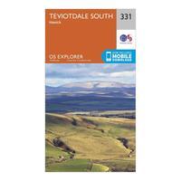
Ordnance Survey Explorer 331 Teviotdale South Map With Digital Version, Orange: The essential map for outdoor activities in Teviotdale South. The OS Explorer Map is the Ordnance Survey\'s most...
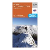
Ordnance Survey Explorer 330 Moffat & St Mary\'s Loch Map With Digital Version, Orange: The essential map for outdoor activities in Moffat and St Mary\'s Loch. The OS Explorer Map is the Ordnance Survey\'s...
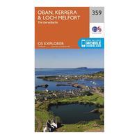
Ordnance Survey Explorer 359 Oban, Kerrera & Loch Melfort Map With Digital Version, Orange: The essential map for outdoor activities in Oban, Kerrera and Loch Melfort. The OS Explorer Map is the Ordnance...
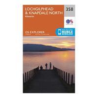
Ordnance Survey Explorer 358 Lochgilphead & Knapdale North Map With Digital Version, Orange: The essential map for outdoor activities in Lochgilphead and Knapdale North. The OS Explorer Map is the Ordnance...
