Choose Which Site You Want To See


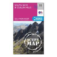
Ordnance Survey Landranger Active 32 South Skye & Cuillin Hills Map With Digital Version - Orange, Orange: The OS Landranger Map Active is tough, durable and weatherproof. The maps are covered in a lightweight protective...

Ordnance Survey Landranger Active 32 South Skye & Cuillin Hills Map With Digital Version - Orange, Orange: The OS Landranger Map Active is tough, durable and weatherproof. The maps are covered in a lightweight protective...

Ordnance Survey Landranger 32 South Skye & Cuillin Hills Map With Digital Version, Orange: The OS Landranger Map is the ideal map for planning the perfect day out. This best known national map series provides...

Ordnance Survey Landranger Active 32 South Skye & Cuillin Hills Map With Digital Version, Orange: The OS Landranger Map is the ideal map for planning the perfect day out. This best known national map series provides...
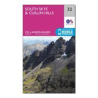
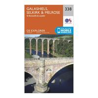
Ordnance Survey Explorer 338 Galashiels, Selkirk & Melrose Map With Digital Version, Orange: The essential map for outdoor activities in Galashiels, Selkirk and Melrose. The OS Explorer Map is the Ordnance...
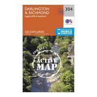
Ordnance Survey Explorer Active 304 Darlington & Richmond Map With Digital Version, Orange: The essential map for outdoor activities in all weathers in Darlington and Richmond. The OS Explorer Active Map is the...
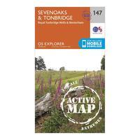
Ordnance Survey Explorer Active 147 Sevenoaks & Tonbridge Map With Digital Version, Orange: The essential map for outdoor activities in all weathers in Sevenoaks and Tonbridge. The OS Explorer Active Map is the...
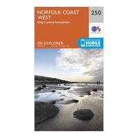
Ordnance Survey Explorer 250 Norfolk Coast West Map With Digital Version, Orange: The essential map for outdoor activities in Norfolk Coast West. The OS Explorer Map is the Ordnance Survey\'s most...
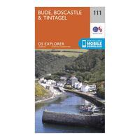
Ordnance Survey Explorer 111 Bude, Boscastle & Tintagel Map With Digital Version, Orange: The essential map for outdoor activities in Bude, Boscastle and Tintagel. The OS Explorer Map is the Ordnance Survey\'s...
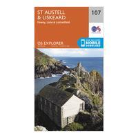
Ordnance Survey Explorer 107 St Austell & Liskeard Map With Digital Version, Orange: The essential map for outdoor activities in St Austell and Liskeard. The OS Explorer Map is the Ordnance Survey\'s most...
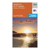
Ordnance Survey Explorer 104 Redruth & St Agnes Map With Digital Version, Orange: The essential map for outdoor activities in Redruth and St Agnes. The OS Explorer Map is the Ordnance Survey\'s most...
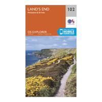
Ordnance Survey Explorer 102 Land\'s End Map With Digital Version, Orange: The essential map for outdoor activities in Land\'s End. The OS Explorer Map is the Ordnance Survey\'s most detailed...
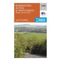
Ordnance Survey Explorer 144 Basingstoke, Alton & Whitchurch Map With Digital Version, Orange: The essential map for outdoor activities in Basingstoke, Alton and Whitchurch. The OS Explorer Map is the Ordnance...
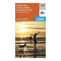
Ordnance Survey Explorer 139 Bideford, Ilfracombe & Barnstaple Map With Digital Version, Orange: The essential map for outdoor activities in Bideford, Ilfracombe and Barnstaple. The OS Explorer Map is the Ordnance...
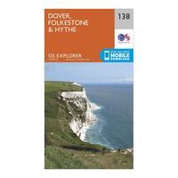
Ordnance Survey Explorer 138 Dover, Folkestone & Hythe Map With Digital Version, Orange: The essential map for outdoor activities in Dover, Folkestone and Hythe. The OS Explorer Map is the Ordnance Survey\'s...
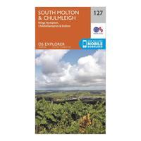
Ordnance Survey Explorer 127 South Molton & Chulmleigh Map With Digital Version, Orange: The essential map for outdoor activities in South Molton and Chulmleigh. The OS Explorer Map is the Ordnance Survey\'s...
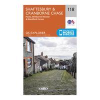
Ordnance Survey Explorer 118 Shaftesbury & Cranborne Chase Map With Digital Version, Orange: The essential map for outdoor activities in Shaftesbury and Cranborne Chase. The OS Explorer Map is the Ordnance...
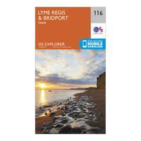
Ordnance Survey Explorer 116 Lyme Regis & Bridport Map With Digital Version, Orange: The essential map for outdoor activities in Lyme Regis and Bridport. The OS Explorer Map is the Ordnance Survey\'s most...
